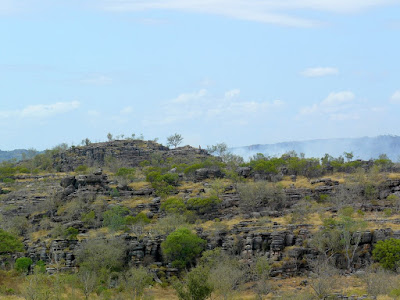
It has monsoon forests, floodplains and billabongs, savanna woodlands, hills and ridges, sandstone escarpments tidal flats and coasts. Despite not being encumbered with the dog, it would still take several weeks to fully explore this incredible place but we have made a start.
We are based in Jabiru, another tourist service town similar to Yalara at Uluru, and equally pricey although here bush camping is a cheap and readily available alternative. It is so hot and humid however that last night out in the bush with no air-con was pretty tough going, especially as Ness had made us undertake a grueling schedule of walks throughout the day.
It is currently the dry season, with the monsoon season not until Dec-March, but we are amazed at how tropical and green many areas are. We have been spending time along the East Alligator River which marks the boundary between Kakadu and Arnhem land.
The 'Alligator' river systems were misnamed by the English navigator Captain Phillip Parker King during an exploration in 1818- he had obviously left his 'Ladybird Book of Man-eating Reptiles' at home when he mistook the crocodiles for alligators.
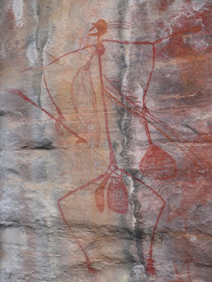
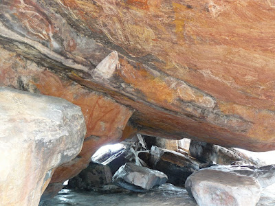
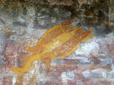
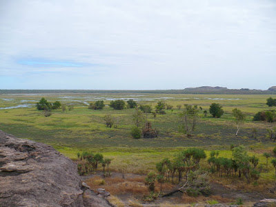
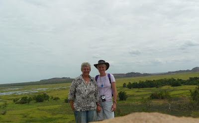
First stop was Ubirr, with several fascinating Aboriginal rock art sites, followed by a 250m climb to the top of a rocky lookout with views across the Nadab floodplain.
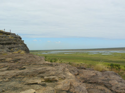
I am finding it impossible to put the size and beauty of the landscape into words, so will not try.Hopefully the pics give some impression, and I will post more on the slideshow in an attempt to portray this unique part of the world.
No comments:
Post a Comment